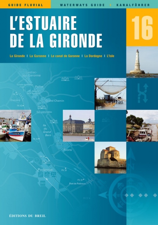
Vaarkaart Estuaire de la Gironde - Editions du Breil no. 16
Vaarkaart Editions du Breil 16 - Estuaire de la Gironde
De titel is misschien een beetje misleidend, aangezien de gids niet alleen het estuarium dekt, maar ook de Garonne, de Dordogne en de Isle.
De Gironde en de Garonne bieden de verplichte route voor boten die van Engeland naar de Middellandse Zee varen. We wijzen de gebruikelijke diepe waterhavens aan in Pauillac en Bègles, maar er is ook een nieuwe haven in le Verdon en de stad Bordeaux heeft moeite gedaan om de voorzieningen voor doorvoerende boten te verbeteren. We beschrijven ook in detail alle kleine vissershavens aan beide zijden van het estuarium, waarvan sommige alleen bereikbaar zijn bij hoogwater.
De Dordogne is perfect bevaarbaar tot aan Branne en, met enkele voorzorgsmaatregelen, tot aan Castillon-la-Bataille. Verder dan deze stad is de navigatie riskant voor grote boten, vooral in de zomer.
De rivier Isle was ooit bevaarbaar tot aan Perigueux, maar nu is alleen het maritieme gedeelte open. Als er genoeg boten tot de eerste sluis bij Laubardemont varen, zullen misschien deze sluis en de volgende sluizen opengesteld worden voor recreatievaart.
Deze eerste editie is warm ontvangen door de Gironde-bootsgemeenschap en we kijken uit naar hun opmerkingen en correcties.
Specificaties:
- Taal: Frans, Duits, Engels
- Formaat 21x29,7 cm
- Gedetailleerde kaarten
- Fotomateriaal en tekstpagina’s
- 96 pagina’s


